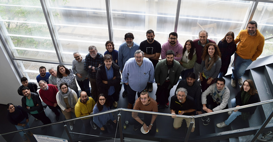
The Centre de Recerca Matemàtica (CRM) and the Institut de Ciències del Mar (ICM) organised a 4-day event to explore new ways to collaborate both at the research and institutional levels.
In today’s evolving research landscape, interdisciplinary collaboration has become more than just a buzzword; it’s a vital necessity in science. The complexity of contemporary challenges, ranging from climate change to technological advancements, demands a blending of diverse perspectives and expertise. When diverse fields collaborate, they create a synergy that surpasses the boundaries of traditional disciplines, sparking innovation and fostering comprehensive solutions. In that vein, the Centre de Recerca Matemàtica and the Institut de Ciències del Mar organised a meeting in November where researchers from both institutions presented their work in an effort to identify common ground and explore new avenues of collaboration.
The aim of this meeting was to discover synergistic opportunities, taking advantage of the strengths of both institutions to tackle complex global problems. The presentations and discussions were tailored to unveil the potential intersections where mathematics and marine sciences could not only coexist but thrive together. The meeting was structured around two 2-day legs, one hosted at the ICM and the other at CRM. Both sessions included a mix of presentations from both institutions, a poster session and time for discussion.
A meeting with diverse scientific perspectives.
The two days at CRM opened with a welcome presentation by Lluís Alsedà, director of the CRM and professor at the UAB. He addressed the challenges faced by mathematicians, particularly in justifying the relevance of their work. He highlighted CRM’s role in high-quality research, knowledge transfer towards society at large, and training in various mathematical fields. He concluded by emphasizing CRM’s dynamic role in bridging disciplines and promoting inclusivity within mathematics.
“We [mathematicians] are aware that we must justify ourselves all the time. We don’t have laboratories, we use blackboards to discuss in front of them to make some scientific progress”
Last week, opening the second leg of the ICM-CRM Meeting, the director of the CRM, Lluís Alsedà, shed light on the challenges mathematicians face, especially in justifying the relevance of their work. The need for constant justification has led the mathematics community to adopt both vocational and obligatory approaches, evident in activities like “Saturdays with Bojos per les Matemàtiques,” organized for high school students interested in the research path.
In his address, Lluis described the essence of mathematicians as akin to Don Quixote de la Mancha, attempting to model seemingly impossible things. He humorously illustrated the stereotypical interaction between a philosopher in a balloon and a mathematician. This joke cleverly highlighted the mathematician’s commitment to precision, time-consuming thought processes, and the sometimes seemingly impractical nature of their conclusions.
Shifting gears, Lluis provided an overview of our research centre, which stands as the oldest mathematics centre in Spain. The CRM is a CERCA institution and a member of ERCOM. CRM’s mission encompasses high-quality research, knowledge transfer, advanced training in mathematics, and the dissemination of mathematical advancements.
CRM’s research spans diverse topics, including Computational and Mathematical Biology, Phylogenetics, Neuroscience, Climate Change and Natural Hazards, Analysis and Partial Differential Equations, Dynamical Systems, Algebra, Geometry and Topology, Combinatorics, Logic, and Algorithmics. In 2020, CRM initiated affiliations with UPC, UB, and UAB, marking a significant milestone.
Highlighting achievements, Lluis mentioned the two Maria de Maeztu Excelencia awards that the CRM has received, and addressed the centre’s commitment to publications (73 in the current year), internships (20 ongoing), and international collaboration, with 74.8% national, 12.9% European, and 12.3% non-European participation.
However, Lluis also acknowledged the gender gap issue affecting CRM, emphasizing the underrepresentation of women in higher levels of investigation. For instance, there are only three women pursuing their PhD compared to twelve men.
Beyond research, CRM actively engages in the organization of Intensive Research Programs, Advanced Courses, and Conferences and Workshops like “Bojos per les matemàtiques.” The Knowledge Transfer Unit (KTU) serves as a vital link, fostering collaborations between CRM and companies or industries. The KTU spearheads ad hoc research initiatives aimed at solving challenges with significant social impact.
He finished his introduction by emphasising that the CRM is, in essence, a dynamic hub of mathematical exploration, where the pursuit of knowledge is complemented by efforts to bridge disciplines, address societal challenges, and promote inclusivity within the mathematical community.
The first scientific presentation was by Evgeniia Makarova, from the ICM. Her presentation focused on addressing biases in sea-surface wind forecasts using machine learning, such as excessive westerlies in middle latitudes. She discussed the limitations of the ERA5 (the fifth generation of the European Centre for Medium-Range Weather Forecasts (ECMWF) atmospheric reanalysis of the global climate) approach and the potential of machine learning models to predict biases, considering various meteorological parameters. Her talk covered the development and evaluation of these models, the importance of data preparation, and the use of validation metrics.
“There are persistent local biases over the ocean”
Evgeniia Makarova’s talk sheds light on the persistent biases in sea-surface wind forecasts generated by Numerical Weather Prediction (NWP) models, driving the exploration of machine-learning solutions for enhanced accuracy. Despite the effectiveness of the ERA5 (the fifth generation of the ECMWF’s atmospheric reanalysis merging observational data from around the world with model outputs). approach in certain aspects, limitations prompt a quest for more robust methodologies.
Numerical Weather Prediction, a process involving dynamic and physics equations to forecast atmospheric conditions, often falls short in accurately predicting sea-surface wind over the ocean, leading to reported biases in ERA5 U10S components. The biases, such as excessive westerlies in middle latitudes and directional discrepancies in hemispheres, persist despite assimilating scatterometer (an instrument that estimates wind velocity and direction over oceans by analyzing the roughness of the ocean surface) data into the ECMWF/ERA NWP.
Efforts to improve scatterometer assimilation have seen limited success, propelling the introduction of the ERA* approach. While effective in bias reduction, ERA* is not without limitations, including sensitivity to scatterometer sampling and computational expense.
The objectives of Makarova’s talk are multifaceted:
- Develop a preliminary machine learning model to predict NWP stress-equivalent wind (U10S) biases.
- Establish a functional relationship between NWP parameters and U10S biases through regression modelling, considering location, atmospheric and oceanic parameters, and wind derivatives.
- Evaluate the viability of the machine learning approach, comparing models based on different algorithms and libraries.
- Train and validate models using a relatively small subset of data.
The machine learning stages introduce a two-step approach. Decision trees, specifically XGBoost, form the initial stage, succeeded by feed-forward neural networks employing libraries like scikit-learn, TensorFlow, and PyTorch. The second stage explores convolutional neural networks adapted for super-resolution or semantic segmentation tailored to regression tasks.
Data preparation, a critical step, involves collocating data in space and time for three datasets, calculating derivatives, and normalizing the dataset for neural network models. To manage the substantial size of the training dataset, a random down-sampling technique is applied, reducing it from 30 GB to 2 GB.
The discussion transitions to the validation metrics employed, primarily focusing on the vector root mean square difference (VRMS). The machine learning model showcases a 5.54% reduction in VRMS globally, outperforming ERA*. Region-specific evaluations reveal notable performance disparities, emphasizing the intricate correlations between meteorological parameters and position-related factors like latitude and longitude.

In conclusion, Makarova’s talk underscores the feasibility of predicting ERA5 NWP biases using machine learning models. The promising results include a 6.6% error variance reduction globally and a remarkable 10% reduction in the extra-tropics compared to HSCAT-B. The potential for operational use, particularly with models trained on larger datasets, is emphasized. Moreover, the application of model corrections during the training period demonstrates the potential to enhance reanalysis products and extrapolate to periods lacking scatterometer data assimilation. These insights collectively signify a significant stride in the integration of machine learning into wind forecasting methodologies.
In his talk, Manuel Arias (ICM) explored the synergy between Earth Observation data and AI. He discussed the applications of AI4EO (Artificial Intelligence for Earth Observation) in various fields, including sea-ice mapping and flood detection. Arias presented case studies on marine plastic debris, Sargassum proliferation, and jellyfish blooms, demonstrating the potential of deep learning models and data treatment techniques like Singular Exponents Data Fusion for enhanced analysis and prediction. The use of AI tools does not solve these issues per se, but with a better detection and prediction preventive measures can be improved over time.
AI tools for remote sensing of drifting matter on ocean surface: technological challenges and range of applications
Manuel Arias, an investigator at ICM-CSIC-BEC’s Physical Oceanography and Technology Department, presented ‘AI Tools for Remote Sensing of Drifting Matter on Ocean Surface,’ exploring the synergy between Earth Observation (EO) data and artificial intelligence (AI) to address environmental challenges. EO data, gathered by satellites with remote sensing devices, provides insights into Earth’s systems, with AI algorithms uncovering patterns from vast datasets. AI4EO (Artificial Intelligence for Earth Observation) strives to bring both worlds closer together aiming to craft science-based solutions to societal challenges in our dynamic world. The applications of AI4EO are far-reaching, encompassing sea-ice mapping, aerosol monitoring, image captioning, change detection, and flood mapping.
He continued exposing three case studies where AI can be very useful. Firstly, he talked about how in 2010, 8 million metric tons of plastic entered the oceans annually, yet only about 245,000 metric tons were measurable by aerial remote sensing.
The latest advances in Deep Learning open a window of opportunity for a more general model based on sparse data, which refers to datasets in which a significant proportion of the information is missing or unavailable, and with better forecasting capabilities.
In the process of developing the Deep Learning model, the initial phase involves integrating in-situ data and information from sources like Sentinel, followed by feature extraction encompassing crucial elements such as water parameters, currents, and weather forecasts. The subsequent steps include training the model with essential a-priori knowledge, classifying risk levels, automatically identifying anomalies, estimating jellyfish risk, and triggering email alerts.
The narrative seamlessly transitions to the pivotal role of data treatment techniques, introducing Singular Exponents Data Fusion (SEDF) for satellite imagery. This innovative approach, devoid of the need for extensive training, promises enhanced spatial resolution and meaningful integration of different data sources.
Finally, Arias describes the specific AI techniques employed for each case study: for marine litter windrows, they use probabilistic classification; for Sargassum proliferation, the main tool is Generative Adversarial Network Models. Generative Adversarial Network ModelsA multivariate time series involves the simultaneous observation of multiple variables over time, capturing intricate relationships and dependencies. When coupled with a Graph Neural Network the model is designed to analyze a set of data that has a relational structure, meaning there are connections between entities –in the field of Artificial intelligence, entities are individual items or objects that are represented and stored as data. It excels at understanding how things change over time and how different variables interact, ultimately leading to improved analysis and prediction capabilities.
Lluis Alsedà presented again, this time on modelling 40 years of data for Audouin’s gull, a species of seabird that nests in the Delta de l’Ebre, focusing on social tipping points within the population. He described different phases of population dynamics, the role of predators, and the impact of nonlinear competition and social copying on dispersal behaviours. Alsedà used mathematical models to represent these dynamics and highlighted the importance of understanding the population dynamics of Audouin’s Gull at La Banya from 1981 to 2021.
Social tipping point identified in the wild: Modelling 40 years of data for Audouin’s gull at Ebre’s River Delta
Lluis Alsedà, director of the CRM and Professor at the UAB, presented a talk titled “Social tipping point identified in the wild: Modelling 40 years of data for Audouin’s gull at Ebre’s River Delta”, focusing on the identification and understanding of social tipping points within the Audouin’s Gull population at La Banya, covering the period from 1981 to 2021. A social tipping point is a moment in dynamic systems where a small change triggers an abrupt, irreversible change in a social system.
The period 1981–1997, labelled as the initial phase, was characterised by a logistic growth due to the absence of predators, namely foxes, and the fact that the population did not approach the expected equilibrium. Predators colonized the patch in 1997, causing a qualitative change in the dynamics and a decreasing tendency in the population until 2004, with a large fluctuation in 2005–2006. The period 2006–2017, labelled as the collapse phase, was characterised by a fast population decline due to dispersal until 2017, when predators were not found at all in the patch. Notice that after the absence of predators from 2017 onwards, the population of birds started increasing again (2018–2021).
The Model can be described as:

A nonlinear competition term refers to a function that describes the impact of competition between individuals or species, and where the change in the effect is not directly proportional to the change in the population sizes involved. Nonlinear competition terms are employed in ecological models to capture the complexities of interactions between organisms, especially when the intensity of competition is not constant across different population densities. Contrary to that, linear competition terms would imply a direct and proportional relationship between the competitive effect and the population size. Common forms of nonlinear competition terms include power functions, saturating functions, or other mathematical expressions that capture the complexities of ecological interactions.
Social copying, Alsedà develops, is the explanation of why when everyone wears green you wear green because you can’t buy anything that’s not that. Therefore, dispersal copying implies a scenario where individuals, when dispersing or moving to new areas, mimic the dispersal patterns or behaviors of others within a population. This could suggest a form of social learning or influence in the context of dispersal strategies.
For the initial phase: it does not include dispersal, since they hypothesize that it is triggered by the presence of predators. It is a particular case of a Ricatti Equation with constant coefficients:
“In mathematics, when something has a name, it seems like it is easy”.

In this model, each individual is defined by six essential parameters: the initial condition (x(0)), along with φ, λ, μ, σ, and δ. These parameters collectively shape the individual’s characteristics within the context of the mathematical or ecological model.
To represent these characteristics computationally, an analogy is drawn to the concept of genes. These parameters are metaphorically referred to as “genes,” and they play a crucial role in defining an individual within the population. Now, consider two distinct yet interconnected aspects: the individual’s phenotype and genotype. The phenotype represents the real values of the parameters. It’s what we, as humans, can easily comprehend and interpret. On the other hand, the genotype offers a discretized representation of these parameters. This discretization is achieved by expressing each parameter as an unsigned integer in binary form.
Why use binary code? This approach is pragmatic for computational efficiency and modelling purposes. It allows for a streamlined representation of the parameters, especially when dealing with complex simulations, mathematical optimizations, or large-scale population dynamics.
There exists a translation process between the phenotype and genotype, ensuring a smooth interchange. When moving from the real-world parameters to their binary representations, and vice versa, these translation procedures maintain the integrity of the information. This becomes particularly valuable in scenarios where precision and computational efficiency are paramount, offering a bridge between the tangible and the abstract within the realm of population ecology.
In conclusion, Lluis Alsedà’s presentation systematically elucidated the consequential impact of each parameter on the Audouin’s Gull model, resulting in a comprehensive understanding of the population dynamics at La Banya from 1981 to 2021.

The final talk from the first day of the meeting at CRM was by Jezabel Curbelo, a researcher at UPC affiliated with the CRM. Jezabel Curbelo explored the possibilities of organizing joint scientific activities between CRM and ICM. Her research focuses on the movements of fluid particles and the application of Lagrangian descriptions of fluids. Curbelo discussed her involvement in workshops that facilitate cross-disciplinary interactions and the application of Lagrangian techniques in oceanography. She expressed eagerness to collaborate with students on research topics like geophysical fluid dynamics and transport in flows.
The second day at CRM started with a talk by Estela Jimenez, an ICM investigator, who discussed seismic data inversion software developed for subsurface imaging. She explored seismic tomography tools, including travel-time inversion and full waveform inversion (FWI), which are used to extract information about subsurface structures. Jimenez also detailed the processes involved in FWI, emphasizing the need for enhancements in computational performance and optimization techniques.
Francisco Ramirez’s (ICM) talk focused on operational research and optimization processes in understanding marine species’ movements. He discussed how birds and seabirds optimize their movements for resource search, considering environmental factors like winds and ocean currents. Ramirez highlighted the use of tracking technologies in studying these movements and the goal of integrating ocean winds and currents data into an optimization process to study changes in response to environmental shifts. The goal is to create a mapping platform similar to Maps but to understand the migratory movement and foraging of birds.
Operational research and optimization processes in studies of marine species’ movements and connectivity between marine habitats
Francisco Ramirez, a postdoc at the ICM, discussed operational research and optimization processes in understanding marine species’ movements and habitat connectivity. The focus is on how animals, particularly birds and seabirds, optimize movements for resource search – mainly food resources but also other important resources such as suitable habitats, considering factors like winds and ocean currents, that facilitate their movements and reduce energy costs when moving through a particular landscape or seascape.
There are two main kinds of movements by animals. On the one hand, we have a sort of short-distance movement through which animals look for food when they are at a particular place: we call these movements foraging movements. On another hand, there are seasonal and large —sometimes extremely large— migratory movements that animals undertake annually between the areas where they breed, and the areas where they spend the winter, which are usually called wintering grounds. Seabirds, exemplified by the Arctic tern, demonstrate extensive migrations, adapting to seasonal food availability changes. Birds often use environmental features, like favourable winds, to minimize travel costs.

Tracking technologies, such as biologgers, enable real-time monitoring. The example of the Balearic shearwater revealed sporadic long-distance foraging travels to Algeria, hypothesized to be driven by wind conditions. Cost layers based on wind conditions showed that these travels occurred when winds were favourable, indicating the impact of wind on foraging movements.

Ramirez also discussed migratory movements in species like kittiwakes and puffins, using wind data transformed into “wind support” as a cost metric. This metric considers a mix of tail and crosswinds as the most favourable. The talk highlights the role of environmental conditions in shaping both foraging and migratory movements in marine species.

He aims to integrate ocean winds and currents data into an optimization process, incorporating how animals leverage these environmental features to identify sea highways. This process would assess how routes change in response to environmental shifts, considering both large trans-equatorial migrations and more localized foraging movements.
The goal is to investigate how animals respond to global environmental changes affecting atmospheric and oceanic circulation. Additionally, he seeks to identify what kind of threats species may encounter during their travels. These assessments would extend to evaluating connectivity between marine regions along annual cycles and how these connectivities may change over the years. Adverse conditions could impact individual survival and have indirect effects on subsequent events like reproduction, known as carry-over effects.
He envisions this approach as a type of “Google Maps” for animal migrations, providing information on optimal routes between two points, such as the CRM and the ICM, under specific conditions like traffic intensity or public transport frequency. Just as Google Maps offers different routes based on transportation mode, migratory routes may depend on species-specific traits. For instance, flapping gulls, gliding shearwaters, swimming penguins, or turtles may move differently and exploit winds or currents uniquely.
Moving on, Ivan Masmitjà (ICM) presented artificial intelligence models applied to the tracking of marine vehicles and organisms. He discussed underwater target localization in benthic and pelagic zones, highlighting the challenges and methodologies involved. Masmitjà focused on Long Baseline and Ultra-Short Baseline systems, range-only approaches, and the integration of AI and reinforcement learning in enhancing underwater target tracking. His work represents a significant advancement in precision tracking in underwater environments.
Artificial intelligence models applied to the tracking of marine vehicles (and organisms) with machine learning methodologies
Ivan Masmitja, a fellow at the ICM and postdoctoral researcher at MBARI, offered a talk titled “Artificial intelligence models applied to the tracking of marine vehicles (and organisms) with machine learning methodologies”, where he covers topics related to artificial intelligence, underwater robotics, and target tracking, basically on how to target localization in benthic and pelagic zones.
The benthic zone is the ecological region at the lowest level of a body of water such as an ocean, lake, or stream, including the sediment surface and some sub-surface layers.
Some of the objects under study to be localized are instruments on the seabed, which may be stationary or moving, e.g., a benthic “rover” or slowly sliding down a submarine canyon.
The pelagic zone consists of the water column of the open ocean and can be further divided into regions by depth, for example drifter buoys, autonomous underwater vehicles (AUV) and low-motion tagged pelagic marine species.
In exploring underwater target localization systems, two prominent methodologies—Long Baseline (LBL) and Ultra-Short Baseline (USBL)—stand out with distinctive considerations.
The Long Baseline (LBL) system, while offering high precision, introduces complexities in its deployment. The process of setting up LBL systems demands a meticulous approach due to its intricate configuration requirements. Once deployed, these systems face limitations in mobility, making them less adaptable to dynamic underwater environments that necessitate frequent repositioning.
On the other hand, the Ultra-Short Baseline (USBL) system is known for its precision, contingent upon successful integration with an Inertial Measurement Unit (IMU). This integration, however, adds a layer of complexity to the setup, requiring careful calibration and synchronization. Furthermore, the benefits of USBL come at a potential cost, both in terms of monetary investment and the increased size and weight associated with its integration with an IMU.
Shifting the focus to target localization methodologies, the range-only approach emerges as a significant technique. In this method, the autonomous vehicle becomes a dynamic sensor, measuring ranges between itself and the underwater target. The mathematical representation of these ranges becomes crucial for subsequent analysis, forming the basis for determining the precise position of the target, where the underwater target position can be solved through Least Squares algorithms by the linearization of this function using the squared range measurements.
The least square method is the process of finding the best-fitting curve or line to best fit a set of data points by reducing the sum of the squares of the offsets (residual part) of the points from the curve.

AIforUTracking represents a transformative leap in underwater target tracking. By marrying Reinforcement Learning – a machine learning training method based on rewarding desired behaviours and punishing undesired ones-, OpenAI particle, and a sophisticated landmark estimation algorithm, this system transcends traditional approaches. It enhances tracking capabilities but also offers a deeper understanding of underwater environments through the lens of artificial intelligence.
In conclusion, Ivan Masmitja’s work represents a leap forward in underwater target localization, combining innovative technologies, biological sensors, and cutting-edge artificial intelligence. His exploration of the benthic and pelagic zones, coupled with the application of RL, opens new possibilities for precision tracking in the vast and mysterious world beneath the ocean’s surface. Let us applaud Ivan Masmitja for his dedication to advancing our understanding of the underwater realm and the tools at our disposal for exploration and research.
Finally, Josep Sardanyés, from the CRM, discussed the MPA4Sustainability initiative, aimed at enhancing Marine Protected Areas’ role in biodiversity conservation. He highlighted the challenges in MPA management and the initiative’s focus on socio-ecological networks and adaptive planning. Sardanyés detailed the development of a Decision Support System for MPA management and the application of the initiative in European case studies. He concluded by emphasizing the initiative’s potential to transform MPA management and conservation efforts.
Enhancing MPAs’ role in restoring biodiversity while maintaining access to ecosystem services
Josep Sardanyés, principal investigator at CRM from the Mathematical Computational Biology group, offered a talk on enhancing Marine protected areas (MPAs)’s role in restoring biodiversity while maintaining access to ecosystem services. In a comprehensive effort to address significant shortcomings in the management of Marine Protected Areas (MPAs) worldwide, the MPA4Sustainability initiative is set to revolutionize the approach to conservation. With 17,000 MPAs covering just 9% of the oceans, a mere 23% have clear management plans, and an insignificant 1% undergoing effectiveness evaluations, a critical need for transformative change has emerged.
The key gap identified by MPA4Sustainability revolves around the conceptualization of MPAs as interventions within complex socio-ecological systems. The initiative aims to not only achieve biodiversity targets but also maximize contributions to the blue economy, an economy that recognizes the importance of seas and oceans as motors of the economy due to its great potential for innovation and growth, while respecting nature’s delicate balance.
MPA4Sustainability will focus on estimating changes in biodiversity associated with MPA establishment, embedding in existing spatial management, and related ecosystem services. Additionally, it will assess the dynamics of socio-ecological networks, emphasizing the role of MPA management and human pressure in detecting tipping points.
To address the lack of clear guidelines for adaptive planning, the initiative will develop a Decision Support System (DSS) encompassing guidelines and a user-friendly simulation platform. This DSS will aid in the comprehensive task of developing integrative MPA management plans, considering socio-ecological trade-offs, identifying management actions, implementing monitoring programs, and recognizing synergies among adjacent MPAs.
Moreover, MPA4Sustainability will undertake policy analyses to evaluate how networks of MPAs, stemming from diverse regulatory frameworks, can add value to regional biodiversity and ecosystem service targets.
The practical application of this initiative will be demonstrated through three European case studies: Øresund (the strait between Sweden and Denmark), Cerbère-Banyuls (embedded within the Golfe du Lion marine park), and Madeira (an established Site of Community Importance). These case studies will not only showcase the initiative’s impact but also provide practical guidelines for implementing the DSS.

For instance, in the examination of the Dynamics of Coastal Species in the Madeira Archipelago, researchers employed a Taxis-Diffusion-Reaction System. The general expression for a particular species, denoted as u=u_i, is as follows:

Let u=u(x,t) where u represents the population of species u at time t and location x. The reaction term is influenced by human activities, such as fishing rates contingent upon geographical location (e.g., restricted in Marine Protected Areas). The diffusion term reflects, as an example, the tendency of individuals to aggregate in deep-sea environments while dispersing in shallow waters. Additionally, the taxis term accounts for attractive signals (positive taxis), for instance, interactions between predator (u) and prey species (w), as well as repulsive signals (negative taxis), such as species u avoiding disturbances like traffic noise.
Challenging current assumptions about MPAs falling along a protection continuum, MPA4Sustainability acknowledges the non-linearity in socio-ecological systems, urging a more nuanced approach. The initiative seeks to expand existing guidelines, influence regulatory implementations of European Directives, and align with the ambitious European Biodiversity Strategy and Green Deal.
In conclusion, MPA4Sustainability emerges as a beacon of hope for the world’s oceans, offering a robust framework to address critical gaps in MPA management and contribute significantly to global conservation efforts.
A successful first step towards a broader collaboration
The event concluded with closing remarks by Lluís Alsedà and Valentí Sallarès, director of the ICM. Both expressed their satisfaction with how the initiative offered an agora for researchers from diverse backgrounds and fields, setting a strong foundation for future collaborative projects. It was a clear demonstration of how the convergence of mathematics and marine sciences can lead to innovative solutions, ultimately contributing to a deeper understanding and preservation of our planet’s ecosystems.
This meeting was not just about sharing knowledge; it was a deliberate and successful effort to bridge two worlds, with the hope of sparking a long-term partnership that could lead to groundbreaking discoveries. Stay tuned for the actions that will arise from this meeting.
Subscribe for more CRM News
|
|
CRM CommPau Varela & Mariona Fucho
|
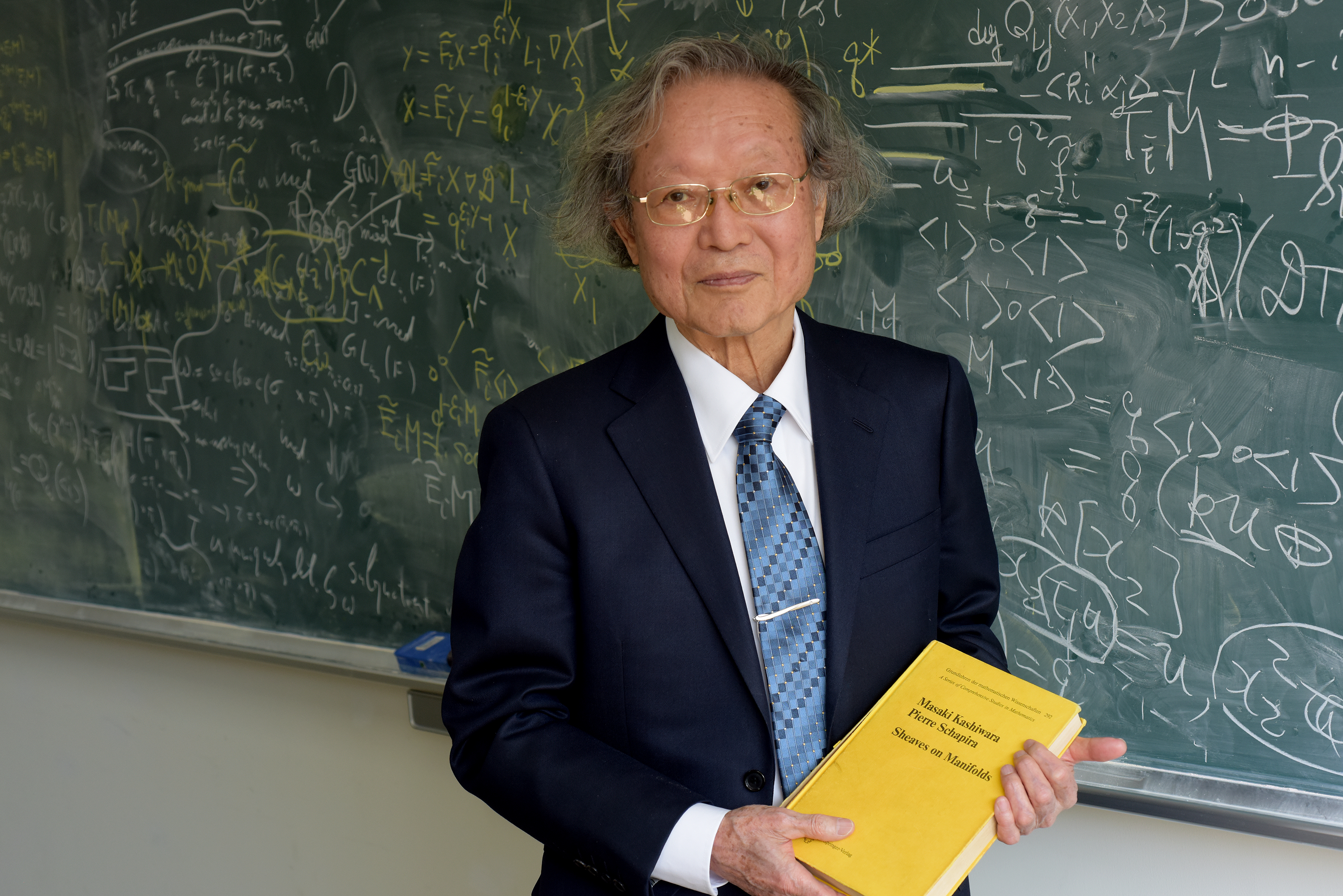
Masaki Kashiwara rep el Premi Abel 2025 per les seves aportacions a l’anàlisi algebraica
El matemàtic japonès Masaki Kashiwara ha estat guardonat amb el Premi Abel 2025. Entre les seves fites destaca el desenvolupament pioner de la teoria dels D-mòduls, que ha tingut una influència profunda en les matemàtiques modernes i en camps com la física teòrica....
Joaquim Ortega Cerdà elected to the Royal Norwegian Society of Sciences and Letters
Joaquim Ortega Cerdà, professor at the University of Barcelona, has been elected to the Royal Norwegian Society of Sciences and Letters, Norway’s oldest institution dedicated to science and scholarship. Professor Joaquim Ortega Cerdà, from the University of Barcelona,...
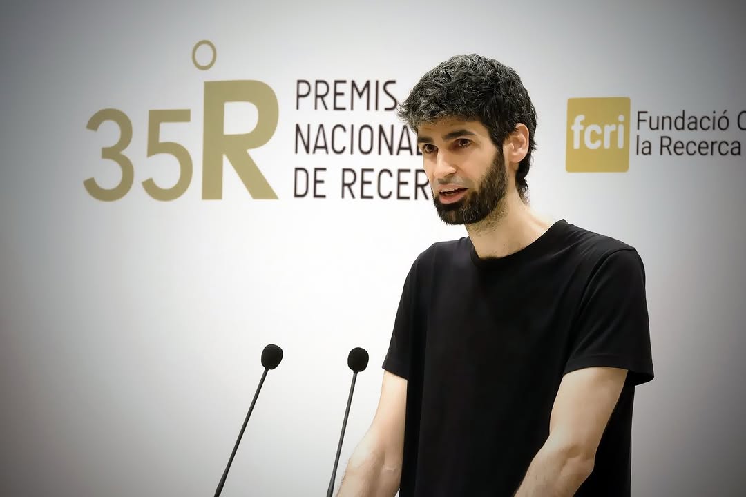
Xavier Ros Oton rep el Premi Nacional de Recerca al Talent Jove 2024
Xavier Ros Oton ha estat guardonat amb el Premi Nacional de Recerca al Talent Jove 2024, el primer cop que aquest reconeixement recau en un matemàtic. El premi destaca la seva trajectòria en l’estudi de les equacions en derivades parcials. El Premi Nacional de Recerca...
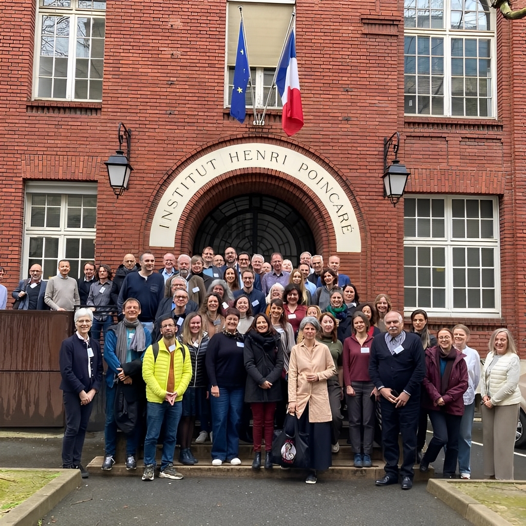
CRM participates in the annual ERCOM meeting in Paris
The Centre de Recerca Matemàtica (CRM) took part in the 2025 ERCOM meeting in Paris, joining leading European centres to discuss collaboration, outreach, and research strategies. The Centre de Recerca Matemàtica (CRM) took part in the annual meeting of ERCOM (European...
Xavier Lasauca i Lola Dagà, guanyadors del II Concurs de Poesia en Pilish del CRM
El segon certamen de poesia en pilish del Centre de Recerca Matemàtica (CRM) ja té guanyadors: Xavier Lasauca i Lola Dagà han estat els autors més votats pel públic, que ha pogut escollir els seus poemes preferits a través de les xarxes socials del centre. La...
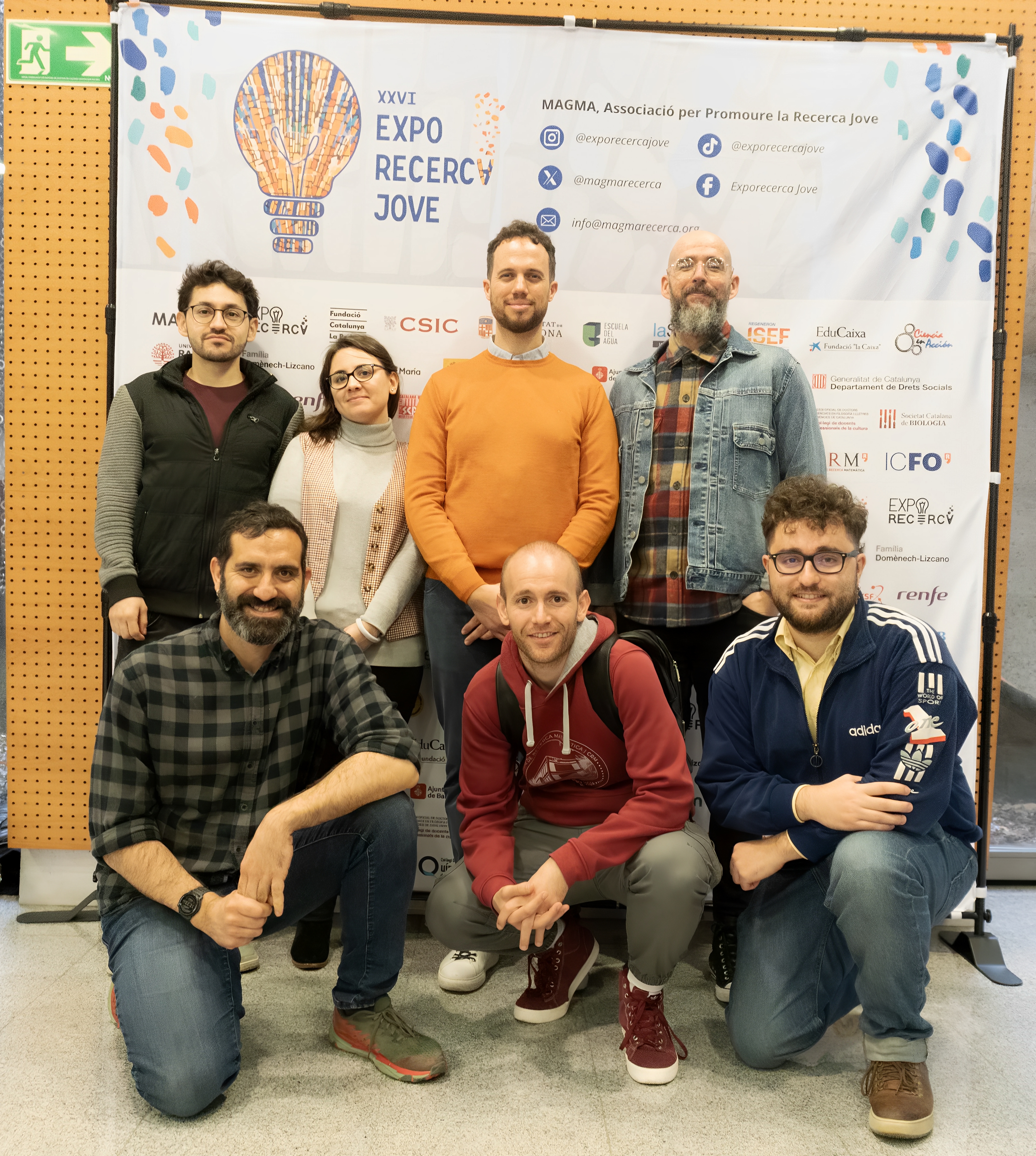
El CRM premia el talent jove a l’Exporecerca 2025
El Centre de Recerca Matemàtica (CRM) ha premiat dos treballs destacats a l’Exporecerca Jove 2025, reconeixent la recerca en matemàtiques i intel·ligència artificial. Amb aquesta iniciativa, el CRM reforça el seu suport al talent jove i a la innovació científica. El...
Estada formativa al CRM: les matemàtiques per afrontar reptes ambientals i geomètrics
The Brain’s Hidden Agility: A New Study Shows How We Adjust Decisions Mid-Action
• The study reveals that decision-making and movement happen simultaneously, constantly adjusting to new sensory information rather than following a sequential process.• Both humans and rats adjust their movements in real-time, demonstrating the brain's flexibility in...
II Certamen de poesia Pilish | Participa!
Torna el certament de poesia més matemàtic! El Centre de Recerca Matemàtica (CRM) obre el Segon Concurs de Poesia en Pilish, un repte literari on cada paraula ha de tenir tantes lletres com el dígit corresponent de π. Es poden presentar poemes en català, castellà o...
Roser Homs apropa les matemàtiques evolutives als alumnes de primària a #científiques
La investigadora Roser Homs (CRM) ha participat en l'edició d'aquest any de #científiques amb una xerrada a alumnes de primària, mostrant com les matemàtiques ajuden a reconstruir arbres filogenètics a partir de l’ADN. Amb motiu del Dia Internacional de la Dona i la...
Eva Miranda reivindica el paper de les dones en la ciència en una jornada a Reus
La matemàtica Eva Miranda va participar en una jornada a Reus per visibilitzar el paper de les dones en la ciència, on va inaugurar l’acte amb una conferència i va reflexionar sobre les dificultats que afronten les científiques. L’esdeveniment, organitzat en el marc...
Xavier Cabré, nou membre numerari de la Secció de Ciències i Tecnologia de l’IEC
Xavier Cabré, investigador ICREA i catedràtic de matemàtica aplicada a la Universitat Politècnica de Catalunya, ha estat nomenat membre numerari de la Secció de Ciències i Tecnologia de l’Institut d’Estudis Catalans. El nomenament, formalitzat el...


